Carte IGN Megève
Map IGN Megève 3531 OT
- Summary: To hike in complete safety and discover the entire coastline and the forest and mountain massifs. Get free access to the QR code which gives access to different services to prepare your outdoor activities. This map is compatible with the GPS system.
- Scale: 1 : 25 000 (1 cm = 250 m)
- Publication date: 20/04/2017
- Publisher: IGN (Institute Geographic National)
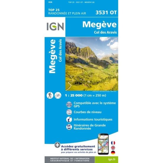
You can carry this map with you everywhere. It takes up little space and will guide you on all your hikes.