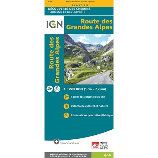
Carte IGN Route des Grandes Alpes
Map IGN Route des Grandes Alpes
- Summary: in partnership with the GTA association, which manages the route. 684 kilometers that cross the French Alps from north to south. 17 mountain passes, including 6 at more than 2,000 meters of altitude from Thonon-les-bains to Menton, cumulating more than 15,000 meters of elevation change. An essential help in the preparation of the route: the stages, the recharging points (VAE).
- Scale : 1 : 220 000 (1 cm = 2.2 km)
- Publication date: 24/04/2017
- Publisher: IGN (Institute Geographic National)
- Laminated
The IGN map, ideal for hiking, allows you to find your way easily and precisely during your outings in the region.

-
 Marmot Comforter€15.90
 -
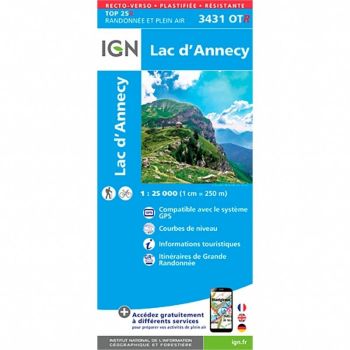
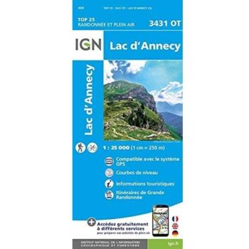 Carte IGN Lac d'Annecy€13.40