Carte IGN la Clusaz le Grand-Bornand (Résistante)
Map IGN la Clusaz le Grand Bornand 3430 ETR
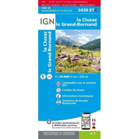
- Summary : Of a very great precision, it contains all the details existing on the ground: the communication ways until the least way, the constructions until the shed, the woods, the isolated trees, the rivers, the sources... Not to mention the representation of the relief by contour lines. The marked out paths and the tourist information are also represented. Communes concerned: Scionzier, Saint-Jean-de-Sixt, Saint-Pierre-en-Faucigny, Saint-Sixt, Amancy, Mont-Saxonnex, Brizon, Cordon, Nancy-sur-Cluses, Magland, Marnaz, Le Reposoir, Saint-Laurent, Les Villards-sur-Thônes, Vougy, Glières-Val-de-Borne, Combloux, La Clusaz Places to discover: Défilé des Étroits, Plateau des Glières, Col de la Colombière, Pointe Percée, Montagne de Sous Dîne, Mont Lachat, Gorges du Bronze, Col de la Croix Fry, Col des Aravis, Pointe des Verres, Sommet des Salles, Montagne des Auges, Chaînes des Aravis
- Scale : 1 : 25 000 (1 cm = 250 m)
- Publication date : 04/06/2022
- Publisher : IGN (Institut Géographique National)
- Format : 96 cm X 121 cm (recto/verso)
Map IGN la Clusaz le Grand Bornand 3430 ETR
- Summary : Of a very great precision, it contains all the details existing on the ground: the communication ways until the least way, the constructions until the shed, the woods, the isolated trees, the rivers, the sources... Not to mention the representation of the relief by contour lines. The marked out paths and the tourist information are also represented. Communes concerned: Scionzier, Saint-Jean-de-Sixt, Saint-Pierre-en-Faucigny, Saint-Sixt, Amancy, Mont-Saxonnex, Brizon, Cordon, Nancy-sur-Cluses, Magland, Marnaz, Le Reposoir, Saint-Laurent, Les Villards-sur-Thônes, Vougy, Glières-Val-de-Borne, Combloux, La Clusaz Places to discover: Défilé des Étroits, Plateau des Glières, Col de la Colombière, Pointe Percée, Montagne de Sous Dîne, Mont Lachat, Gorges du Bronze, Col de la Croix Fry, Col des Aravis, Pointe des Verres, Sommet des Salles, Montagne des Auges, Chaînes des Aravis
- Scale : 1 : 25 000 (1 cm = 250 m)
- Publication date : 04/06/2022
- Publisher : IGN (Institut Géographique National)
- Format : 96 cm X 121 cm (recto/verso)
The team's opinion
The IGN map, ideal for hiking, allows you to find your way easily and precisely during your outings in the region.