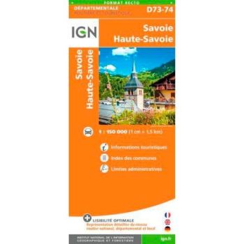
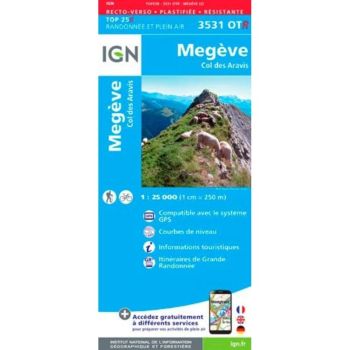
IGN map Beaufortain / Massif du Mont Blanc
IGN Beaufortain / Massif du Mont Blanc map
- Summary: Designed by IGN, this tear-proof, moisture-resistant map will be your best companion to slip into your rucksack when hiking in the Mont Blanc Massif and Beaufortain. Rain, shine, or even snow, your map will always be there, so you'll never be lost, even if your mobile runs out of battery, or you can't get a signal.
To help you plan your hikes in advance, the map is annotated with contour lines, side points, rocky areas and glaciers. Best of all, the map has a GPS grid, enabling you to find your bearings on the map (in X and Y) provided by a GPS.
- GPS compatible
- Scale of 1 / 75,000 (i.e. 1 cm = 0.75 km)
- Ideal for planning your routes on foot, by bike or by car
- Release date: 2015
- Language: English, French, German
- Dimensions in cm: 25 × 11 × 1
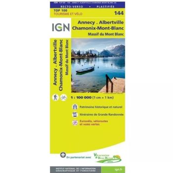